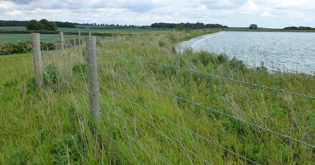
Cover photo: Richard Humphrey (CC BY-SA 2.0, cropped)
You checked the forecast on Sunday night. Dry until Thursday, it said, so you planned the week around it: fertiliser Tuesday, spraying Wednesday morning. Tuesday afternoon a shower came through that no app had mentioned and put 8 mm on the one block you needed to travel. Meanwhile the village three miles east stayed bone dry.
Every farmer has a version of that story. Most of us have concluded the forecast is roughly useless and the people making it should try standing in a gateway in April.
Here is the awkward part: by their own published scoring, the forecasts are good, and they publish the scores, which almost nobody reads. The gap between “93% accurate” and “wrong again on my farm” is not a contradiction. Understanding why it exists is the difference between a forecast that misleads you and one you can actually plan work around.
A way through this story
The numbers the Met Office publishes about itself
The Met Office verifies its forecasts against observations at around 120 sites across the UK and publishes the results each season. The recent scores, straight from their verification blogs:
| Forecast element | 1 day ahead | 5 days ahead | Season |
|---|---|---|---|
| Maximum temperature | 93% | 73% | Summer 2025 |
| Maximum temperature | 96% | 87% | Autumn 2025 |
| Maximum temperature | 95% | 77% | Spring 2026 |
| Minimum temperature | 85–89% | 59–70% | across the three seasons |
| Wind speed (within 5 knots) | 89–93% | 77–84% | across the three seasons |
| Wind direction (within one compass point) | 73–89% | 51–63% | across the three seasons |
Two things jump out of that table if you farm.
First, next-day forecasts are genuinely reliable. If tomorrow’s forecast says 18°C and a 12 mph south-westerly, that is very probably what you will get. The Met Office says its four-day forecast is now as accurate as its one-day forecast was 30 years ago. The science has moved, whatever it feels like from the gateway.
Second, look at the decay. Wind direction five days out verified at 51% in autumn 2025 — scored generously, within 22.5 degrees. That is a coin toss dressed up as a forecast. Minimum temperature (the number that decides whether you get frost) dropped from 86% at one day to 59% at five days in spring 2026. The five-day forecast on your phone is presented with exactly the same confidence as the one-day forecast. The reliability behind the two numbers is completely different, and nothing on the screen tells you that.
There is a caveat that cuts the other way, though, and it matters more for farmers than for anyone else: those verification sites are point locations. A forecast scored “accurate” at 120 sites can still have missed the one shower that mattered on your particular 200 acres. The scores are honest. They just are not measuring the question you are asking.
Why Britain is close to the worst case
The UK’s weather is steered by the jet stream: a core of wind five to seven miles up, moving at up to 200 mph, that pushes areas of low and high pressure across the Atlantic towards us. When it runs straight, weather systems move through on schedule and forecasts hold. When it buckles into loops, as rivers do, the position of one meander decides whether a front stalls over your county or slides through overnight. In winter it strengthens and often sits directly over the UK, which is why the wettest, windiest spells arrive in the colder months. It is also why, when we worked through the regional rainfall records, the extra rain Britain has gained showed up in winter, not summer.
The forecasting problem is that weather is what the Met Office plainly calls a chaotic system: small differences in today’s conditions (a shift in temperature, wind or humidity) grow into large differences a few days out. However good the observations, you can never know every detail of the starting conditions, and the errors compound with every day of lead time. That is not a flaw in the models. It is a property of the atmosphere, and it is why the five-day numbers in the table above sag the way they do.
Summer makes it worse. The Met Office’s own verification blog calls summer “famously tricky for weather forecasting in the UK”: fewer large-scale drivers, more small-scale convective weather. Those scattered heavy showers that soak one parish and miss the next are individually close to unpredictable. A model can be right that showers will fire across your region on Tuesday and have no way of telling you which fields they will land on. The forecast was correct. Your hay still got wet. Both of those are true at once, and that single fact explains most of the anger farmers direct at forecasts.
It is worth saying the professionals do not pretend otherwise. The Met Office runs ensembles, many simulations from slightly different starting conditions, precisely because one run of one model cannot be trusted on its own. When the ensemble members agree, confidence is high. When they scatter, the honest forecast is “we do not know yet”. Which brings us to the thing in your pocket.
Your weather app is the weakest link
The Met Office makes this point about the wider industry on its own accuracy page: many weather apps and websites take data straight from prediction models with no input from a meteorologist. One model, one run, presented as certainty — “light rain, 2pm Tuesday” — with the uncertainty stripped out because uncertainty does not fit in a widget.
The model behind a generic app matters too, and you cannot usually see which one it is. The Met Office’s UK model, called UKV, runs at 2 km resolution and updates every hour; its global model runs at 10 km. A 2 km grid can at least represent the showery structure of a British summer’s day. A 10 km or coarser global model smears it into “40% chance of rain” across half a county. Plenty of free apps run on global models because global data is cheap and one feed covers every country they sell into.
Freshness is a third problem. Open-Meteo, one of the services that redistributes Met Office data, notes that the open-data feed arrives with an extra four-hour delay, and says outright that forecasts built on it are “not as accurate as [they] could be”. So a third-party app can be showing you a four-hour-old run of the right model, or a fresh run of the wrong one. Either way, the person who walks the fields is getting a worse product than the data allows.
I have not found a way to tell, from an app’s own screens, which model and which run it is showing. The practical workaround is below.
How to read a forecast like a forecaster
None of this means ignoring forecasts. It means matching the decision to the lead time, because the reliability falls off a cliff that the apps never show you.
Trust the one-day forecast with real money. At 89–93% on wind speed, tomorrow morning’s spray window is a forecast you can act on. Check it the evening before, not three days out: the UKV model updates every hour, so the latest run is meaningfully better than this morning’s.
Treat day three as a lean, not a plan. Temperature holds up reasonably to day five in the cooler seasons. Rain timing and wind direction do not. If the silage contractor needs booking three days ahead, book on the pattern (settled spell or unsettled) rather than the symbol for Thursday afternoon.
Treat day five as a rumour. Wind direction at five days verified between 51% and 63% across the last three published seasons. Minimum temperature at five days: 59–70%. Do not spend money on a five-day frost forecast. Re-check at two days, when the same forecast is worth roughly 85–89%. What to do once a frost genuinely is coming is a separate question, and our guide to frost protection in horticulture works through it.
Use disagreement as information. Open two apps built on different models, or a forecast plus the Met Office site itself. When they agree, the atmosphere is in a predictable spell and you can plan further ahead than usual. When they disagree, that disagreement is the ensemble spread leaking into view: the honest answer is “unsettled, decide late”. Two conflicting forecasts are not both wrong. They are jointly telling you the one thing neither will admit alone.
Read probabilities as area, not certainty. In shower conditions, “60% chance of rain” over a region is compatible with your farm staying dry and your neighbour flooding. The smaller the weather, the less any point forecast can promise you.
What stays unsolved
Forecasting keeps improving: a day of skill gained roughly every decade, on the Met Office’s own reckoning. What that improvement will not deliver, on any horizon that helps you, is the thing farmers actually want: which field the shower lands on, four days out. The atmosphere does not carry that information far enough ahead for anyone to extract it. The honest ceiling is a sharp one-to-two-day forecast, a probabilistic week, and a farmer who knows which is which.
That last part is the piece you control. The forecast on your phone is not lying to you about tomorrow. It is overselling you Thursday — and now you know exactly by how much.
You’ve reached the end of this story.