Scotland ↗
Rain risk is higher than in yesterday’s forecast.
Forecast temperatures are noticeably higher across the farming areas checked.
British farming, in focus
Good evening
The latest farming picture, with dates and local context.
Edition prepared
Comparison prepared 26 Oct, 18:00 GMT.
Rain risk is higher than in yesterday’s forecast.
Forecast temperatures are noticeably higher across the farming areas checked.
Rain risk is higher than in yesterday’s forecast.
Forecast temperatures are noticeably higher across the farming areas checked.
Rain risk is higher than in yesterday’s forecast.
Forecast temperatures are noticeably higher across the farming areas checked.
The pattern of rain risk has changed across the farming areas checked.
Forecast temperatures are noticeably higher across the farming areas checked.
Rain risk has shifted: Eden Valley now carries the greater risk while West Lancashire is comparatively drier.
Forecast temperatures are noticeably higher across the farming areas checked.
Rain risk has shifted: Shropshire now carries the greater risk while Lincolnshire Fens is comparatively drier.
Forecast temperatures are noticeably higher across the farming areas checked.
Forecast temperatures are noticeably higher across the farming areas checked.
Rain risk is higher than in yesterday’s forecast.
Forecast temperatures are noticeably higher across the farming areas checked.
Rain risk has shifted: Cornwall / Devon border now carries the greater risk while South Somerset is comparatively drier.
Forecast temperatures are noticeably higher across the farming areas checked.
Local stories. Live markets. Weather. Support. All in one place – because every farm has a story.
Click a regionClick a region to explore local stories, markets and support →
Relief, field patterns and tiny farming motifs are editorial illustration, not measured elevation, mapped fields or farm locations. Weather tint is shown only while the regional forecast and its supporting sources remain current; it does not show rain bands. Regional information comes from the dated sources shown in each briefing.
These are editorial groupings, not warning zones. The map covers Scotland and its islands, but weather points do not directly sample the islands or Borders. North England / Yorkshire combines the North East and Yorkshire and The Humber; Midlands combines East and West Midlands; East of England includes Norfolk, Suffolk, Cambridgeshire, Essex, Bedfordshire and Hertfordshire. The latter two counties have no direct weather point. South East includes London. These are named farming-area comparisons, not complete regional coverage.
Map derived from ONS UK boundaries. Contains ONS, OS and LPS information © Crown copyright and database right 2026. Open Government Licence v3.0.
CURRENT
Rain is forecast around Aberdeenshire, Angus, Galloway and Easter Ross over the next six hours.
CURRENT
Balruddery: 0.7mm on 25 Oct; Easter Bush: 5.9mm on 25 Oct. Provisional daily gauge readings, not a regional rainfall total.
UNAVAILABLE
No dated soil reading is available for this edition.
CURRENT
Rain risk is repeatedly elevated around Angus during 19:00 GMT, 26 October to 01:00 GMT, 27 October.
Briefing updated 18:00 GMT, 26 October · Met Office + UKCEH
Powered by Met Office data
CURRENT
Rain is forecast around East Down and Fermanagh over the next six hours.
CURRENT
Glenwherry: 6.8mm on 25 Oct; Hillsborough: 4.5mm on 25 Oct. Provisional daily gauge readings, not a regional rainfall total.
UNAVAILABLE
No dated soil reading is available for this edition.
CURRENT
Rain risk is repeatedly elevated around Fermanagh during 19:00 GMT, 26 October to 01:00 GMT, 27 October.
Briefing updated 18:00 GMT, 26 October · Met Office + UKCEH
Powered by Met Office data
CURRENT
Rain is forecast around Vale of Clwyd, Mid Wales and Carmarthenshire over the next six hours.
CURRENT
Cwm Garw: 0.5mm on 25 Oct; Henfaes Farm: 0.0mm on 25 Oct. Provisional daily gauge readings, not a regional rainfall total.
UNAVAILABLE
No dated soil reading is available for this edition.
CURRENT
Rain risk is repeatedly elevated around Mid Wales during 19:00 GMT, 26 October to 01:00 GMT, 27 October.
Briefing updated 18:00 GMT, 26 October · Met Office + UKCEH
Powered by Met Office data
CURRENT
Little additional rain is expected around Northumberland, Vale of Mowbray and East Yorkshire over the next six hours.
CURRENT
Cockle Park: 10.3mm on 24 Oct; Spen Farm: 0.0mm on 25 Oct. Provisional daily gauge readings, not a regional rainfall total.
UNAVAILABLE
No dated soil reading is available for this edition.
CURRENT
Little additional rain is forecast over the next six hours, but one checked gauge already recorded 10.3 mm in the 24 hours ending 01:00 BST, 25 October. The quiet forecast follows rain already received.
Briefing updated 18:00 GMT, 26 October · Met Office + UKCEH
Powered by Met Office data
CURRENT
Rain is more likely around Eden Valley than around West Lancashire over the next six hours.
CURRENT
Moor House: 0.6mm on 25 Oct. Provisional daily gauge readings, not a regional rainfall total.
UNAVAILABLE
No dated soil reading is available for this edition.
CURRENT
Rain risk is repeatedly elevated around Eden Valley during 19:00 GMT, 26 October to 01:00 GMT, 27 October.
Briefing updated 18:00 GMT, 26 October · Met Office + UKCEH
Powered by Met Office data
CURRENT
Rain is more likely around Shropshire than around Lincolnshire Fens over the next six hours.
CURRENT
Loddington: 0.0mm on 25 Oct. Provisional daily gauge readings, not a regional rainfall total.
UNAVAILABLE
No dated soil reading is available for this edition.
CURRENT
Rain is possible around Shropshire, Leicestershire, Lincolnshire Fens, but forecast additions stay below 1 mm at each checked location during 19:00 GMT, 26 October to 01:00 GMT, 27 October.
Briefing updated 18:00 GMT, 26 October · Met Office + UKCEH
Powered by Met Office data
CURRENT
Little additional rain is expected around Norfolk, Cambridgeshire Fens, Mid Suffolk and Essex over the next six hours.
CURRENT
The rain gauges checked recorded about 2–4 mm in the 24 hours to 16:30 on 26 Oct.
UNAVAILABLE
No dated soil reading is available for this edition.
CURRENT
Little additional rain is forecast over the next six hours, but one checked gauge already recorded 3.7 mm in the 24 hours ending 16:30 GMT, 26 October. The quiet forecast follows rain already received.
Briefing updated 18:00 GMT, 26 October · Environment Agency + Met Office
Powered by Met Office data
CURRENT
Rain remains possible around Hampshire, Kent, without a pronounced wetter–drier split over the next six hours.
CURRENT
Hadlow: 0.0mm on 25 Oct; Sheepdrove: 0.0mm on 25 Oct. Provisional daily gauge readings, not a regional rainfall total.
UNAVAILABLE
No dated soil reading is available for this edition.
CURRENT
Rain risk builds later around Hampshire: the first two hourly forecasts carry little risk, with a stronger signal during 23:00 GMT, 26 October to 01:00 GMT, 27 October.
Briefing updated 18:00 GMT, 26 October · Met Office + UKCEH
Powered by Met Office data
CURRENT
Rain is more likely around Cornwall / Devon border than around South Somerset over the next six hours.
CURRENT
North Wyke: 1.2mm on 25 Oct. Provisional daily gauge readings, not a regional rainfall total.
UNAVAILABLE
No dated soil reading is available for this edition.
CURRENT
Rain risk builds later around Cornwall / Devon border: the first two hourly forecasts carry little risk, with a stronger signal during 23:00 GMT, 26 October to 01:00 GMT, 27 October.
Briefing updated 18:00 GMT, 26 October · Met Office + UKCEH
Powered by Met Office data
Today / ahead
What may matter next.
Watching whether the greater rain risk around Galloway persists; Aberdeenshire remains comparatively drier in the later forecast.
See the regional context ↗The journalism behind the picture
Livestock
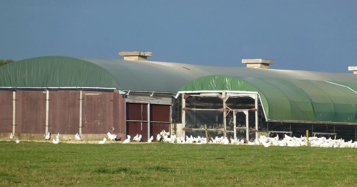
Northumberland bird flu: H5N1 confirmed at a commercial poultry farm near Belford on 19 October. What the 3km and 10km zones mean for keepers.
Arable
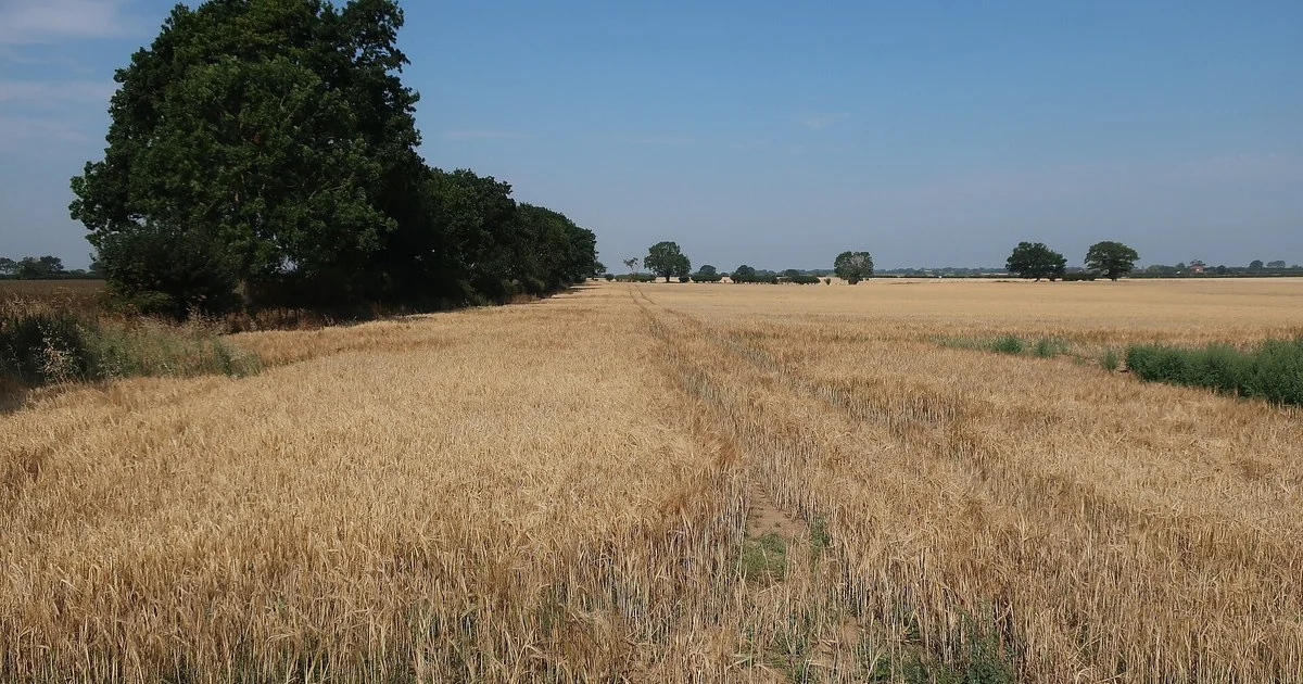
UK barley supply is tight in 2026/27: AHDB puts the crop at 5.6Mt, the smallest since 2012/13. What it means for feed buyers, sellers and prices.
Livestock
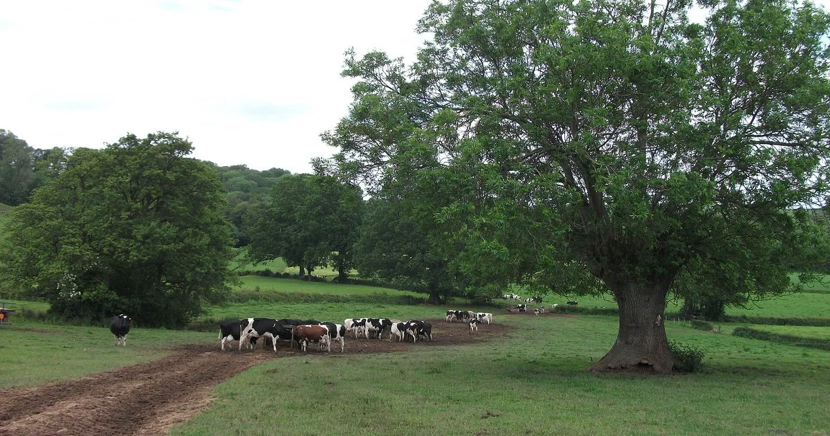
UK milk prices explained: farmgate at 36.89ppl, butter down £240/t and SMP up £200/t. Why fat and protein are moving apart, and what it means for farmers.
The letter from BritFarmers
The week in farming, made clear. A short read on schemes, prices and policy, with the sources close to hand.
Explore BritFarmers WeeklyFree to read. One email a week. Unsubscribe anytime.
From the fields.
For the week ahead.
The changes and dates to keep in view.
The numbers, with their sources.
The decisions that reach the farm gate.